Source: Pat Whelen
Read through the resources below to for information that will help you with your fieldwork in Yarra Ranges National Park.
This is the official website for the Yarra Ranges National Park and has links to lots of information about park management.
In February 2009, Victoria experienced the worst bushfires in Australia’s history. The ‘Black Saturday’ bushfires, as they became known, burnt 406,337 hectares of land, 173 lives were lost and 78 communities were affected. It was a sad day for the nation; the loss was profound. The fires required a major recovery and rebuilding program to assist devastated communities and this included a program to rehabilitate and restore public land and its assets. Read through this report to see how the Yarra Ranges National Park was managed after being affected by the Black Saturday bushfires and learn how bushfires impact the environment.
Parks Victoria’s Managing Country Together Framework is a blueprint that guides how they work in partnership with Traditional Owners to protect Victoria’s cultural landscapes. Read through this framework to see the role that Traditional Owners play in the management of national parks.
The Nature Conservation Strategy 2021-2031 sets out how Parks Victoria aims to conserve and protect nature on Victoria’s parks estate. Read through this strategy to see how Parks Victoria aims to minimise negative impacts on the environment.
Read through this website to learn about the impact weeds and diseases have on national parks.
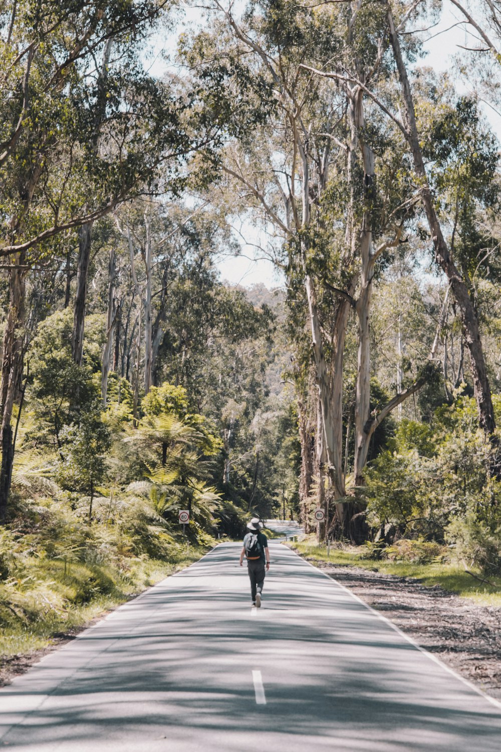
Read through this website to learn about some of the geographical features found in the Yarra Ranges National Park.
The Taggerty Cascades are as they sound - rough tumbling and loud on the ears. This 15 minute way offers a quick path down to the darkened forest below and a chance to watch the fresh waters of Lake Mountain tumble off the granite boulders and through this pocket of rainforest. Lady Talbot Drive was named after the wife of Sir Reginald Talbot, Governor of Victoria from 1903 to 1908. Read through this website to see some great photos of the area.