


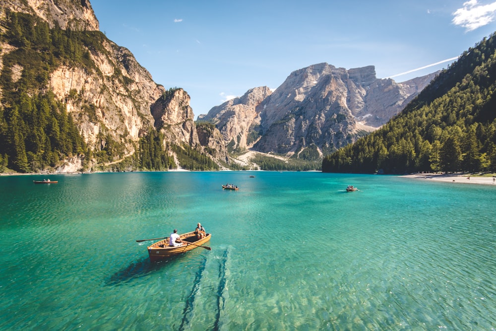
Our world is full of all kinds of amazing landscapes and landforms, both natural and manmade. Read through the resources below to start your investigation into landforms and landscapes, and click through the tabs above to continue in your learning journey.

Aesthetic: concerned with beauty or the appreciation of beauty.
Antarctic Circle: a special line of latitude that circles the Earth near the South Pole.
Arch: a formation (or landform) where a rock arch forms, with a natural passageway through underneath.
Archipelago: a group of islands or a cluster of islands usually found in the open sea. They can be formed by erosion but most often occur as the result of volcanic activity. Fiji, Bora Bora, the Florida Keys, and even the entire nation of Japan are examples of archipelagos.
Arctic Circle: a parallel latitude that runs north of the equator.
Backwash: when the water from a wave runs back down the beach.
Basin: an area of land surrounded by higher portions of land which drain into the center shallower part. An example of a basin includes the Amazon River Basin in South America.
Bay: usually smaller than a gulf, a bay is a body of water partly enclosed by land. Famous and beautiful bays of the world include the San Francisco Bay, Phang Nga Bay in Thailand, and Bay of Kotor in Montenegro.
Beach: a landform along the coast of an ocean, sea, lake, or river. It usually consists of loose particles, such as sand, gravel, shingle, or pebbles.
Canyon: a narrow or deep valley with very steep sides. Canyons are usually created by water erosion as a river moves between the canyon walls.
Cave: a natural hollow space under the ground that has an opening large enough for a person to enter.
Change: analysing how landscapes, land-forms or things have changed over a period of time.
Channel: a body of water that connects two larger bodies of water. The English Channel is an example of this landform.
Cliff: a vertical or very steep natural wall of rock.
Coast: the area of land beside an ocean or sea. Since all continents have land accessible to water, there are coastlines all around the world. The Mediterranean Coast and the Pacific Coast are examples of famous coastlines.
Constructive waves: waves that have a long wavelength and a low frequency (8–10 waves per minute). Constructive waves are low and are typically under one metre in height. The wavefront is gently sloping and gains a little height, breaks and spills onto the beach. Water spreads a long way up the gently sloping beach.
Continent: the seven largest land masses on Earth. They are Asia, Australia, Antarctica, Africa, Europe, North America, and South America.
Continental Shelf: the seabed that surrounds a continent. It gradually slopes into the ocean and ends in a sudden steep slope in very deep water.
Cultural: relating to the ideas, customs, and social behaviour of a society.
Delta: land formed by layers of sand, silts and small rocks which flow downstream and are deposited at the mouth of the river. The Nile River delta and Mississippi River delta are two examples.
Deposition: the laying down of sediment carried by wind, flowing water, the sea or ice.
Desert: a very dry, barren region usually sandy, with little or no trees and a low average yearly rainfall. The Sahara Desert in Africa, the Gobi Desert in Asia, and the Great Victoria Desert of Australia are examples of desert landforms.
Destructive waves: waves that are usually very high, have a short wavelength and are very frequent. The wave has a steep front and is typically over 1 metre tall. The backwash has less time to soak into the sand. As waves continue to hit the beach, there is more running water to transport the material out to sea. As the wave approaches the coast, it gains height and plunges onto a steep beach and does not travel far up it.
Divide: the highest ridge of land separating watersheds or river basins. In North America, the Continental Divide runs from Alaska south along the Rocky Mountains into Mexico.
Economic: relating to the process or system by which goods and services are produced, sold, and bought.
Environment: the natural world, as a whole or in a particular geographical area, especially as affected by human activity.
Equator: the imaginary circle around the earth that is halfway between the North and South Poles.
Erosion: process by which soil and rock is removed from one area of the Earth through natural causes such as wind, water, and ice and transported elsewhere.
Fault: a separation or crack in the layers of the Earth’s crust caused by stress and movement of Earth’s tectonic plates. The San Andreas Fault is one fault line which runs along the length of western and central California.
Fjord: a narrow inlet of the sea between high cliffs or banks. Fjords were created by glaciers. Famous fjords include the scenic Geirangerfjord of Norway and Milford Sound of New Zealand.
Glacier: a large, long-lasting river of slow-moving ice on land. Glaciers helped to create many of the landforms on the planet.
Gorge: a narrow valley with steep, rocky walls located between hills or mountains.
Gulf: usually larger than a bay, a gulf is part of a sea or ocean that is to some extent surrounded by land. The Gulf of Mexico, the world’s largest gulf, and the Persian Gulf are examples of gulfs.
Harbour: natural harbours are landforms where part of a body of water is protected from the rough waters of open ocean exposure. A good natural harbour is deep enough to anchor a ship. Sydney Harbour in Australia is a prime example of a natural harbor.
Headland: an area of land that is surrounded by water on three sides.
Hill: a raised area or mound of land, usually round in shape, that is higher than surrounding land but not as high as a mountain.
Human landscape: landscapes that provide evidence of human settlement and occupation of an environment. Features of human landscapes include elements of infrastructure such as buildings, roads, transport, energy, sewerage and telecommunication systems.
Inlet: a narrow stretch of water that reaches into a coast from a sea or lake.
Interconnections: “webs of connection” such as food chains. No object or geographical study can be viewed in isolation. Meaning that all things in a place are connected and work together.
Island: an area of land completely surrounded by water. The Philippines, Japan, New Zealand, and Indonesia are nations consisting entirely of islands.
Isthmus: a narrow strip of land with water on both sides that joins two larger land masses. An isthmus connects North and South America. The Panama Canal was built to travel across this famous isthmus.
Karst: an area of land made up of limestone.
Lake: a large body of water surrounded by land. Famous lakes of the world include Lake Superior in North America, Lake Baikal in Russia, Loch Ness in Great Britain, and Lake Victoria in Africa.
Landform: any natural feature of the Earth's surface, such as a hill, a lake, or a beach.
Landscape: the visible features of an area of land, its landforms, and how they integrate with natural or man-made features.
Latitude: distance north or south of the Equator, measured in degrees.
Longitude: distance east or west of the prime meridian, measured in degrees.
Longshore drift: the process of the ocean currents forcing sand and other material down a beach.
Meridians: an imaginary line of longitude drawn along the surface of the earth from the North Pole to the South Pole.
Mesa: a land formation usually occurring in dry areas with a relatively flat top and steep rock walls.
Mountain: a very high, rocky land formation, usually with steep sides and a pointed or rounded top. Mountains are higher than hills. The highest mountain in the world is Mount Everest at 29,029 feet (8,848 meters).
Mountain Range: a chain or row of connected mountains. Mountain ranges of the world include the Rocky Mountains in the United States, the Alps in Europe, the Himalayas in Asia, and the Andes in South America.
Natural landscapes: areas of land and the elements that are on it which have not been directly changed, altered, or moved by humans.
Oasis: fertile ground in a desert where water and some vegetation can be found.
Ocean: the largest bodies of salt water, oceans surround continents and cover more than two-thirds of the Earth’s surface. The five main oceans of the Earth include the Atlantic, Pacific, Indian, Arctic, and Antarctic oceans.
Parallels: one of the imaginary circles on the earth's surface running in the same direction as the equator and marking latitude.
Peninsula: a strip of land connected to a larger land mass and extends into a body of water. Peninsulas are surrounded by water on three sides. Florida in the United States and most of Italy are considered examples of peninsulas.
Place: the significance of a landscape and what it’s features are.
Plain: a flat or gently rolling area of land with only moderate changes in elevation.
Plateau: considered an elevated plain, plateaus are a flat highland with one steep face. The Tibetan Plateau, the Andean Plateau, and the Colorado Plateau are examples of plateaus found around the world.
Prairie: a wide plains region with relatively flat areas of land with tall grasses and few trees. The central United States, known as the Great Plains, is a prairie region.
Prime Meridian: the imaginary line that divides Earth into two equal parts: the Eastern Hemisphere and the Western Hemisphere.
Reef: a ridge of corral, rock, or sand at or near the surface of the water. The Great Barrier Reef on the eastern coast of Australia is perhaps the best known reef in the world.
River: a natural stream of water that flows over land and empties into a body of water such as a sea, lake, or ocean. The longest rivers in the world include the Nile in Africa, the Amazon in South America, the Yangtze in China, and the Mississippi in the United States.
Riverine: relating to or found on a river or rivers, or the banks of a river.
Sandbar: a ridge of sand in a river or near a shore. It is formed by the action of waves or currents.
Sand dune: a hill or ridge of sand piled up by the wind.
Scale: the way geographical phenomena and problems can be explained at different levels. Scale can be from local, regional, nation or global.
Sea: a large body of salt water often connected to an ocean that is partly or completely surrounded by land. The Caribbean Sea, the Black Sea, the Coral Sea, and the Mediterranean Sea are examples.
Sound: a wide channel parallel to the coastline. It connects two bodies of water or an inlet between the mainland and islands. Puget Sound in Washington State is an example of a sound landform.
Space: the significance of a location, spatial distribution and the way people organise/manage the space (area) they live in.
Spiritual: relating to people's thoughts and beliefs, rather than to their bodies and physical surroundings.
Spit: is a stretch of land or sand which projects out to sea.
Stack: a geological landform consisting of a steep and often vertical column or columns of rock in the sea near a coast, formed by wave erosion.
Strait: a narrow channel of water connecting two larger bodies of water. The Straits of Gibraltar are a famous example of this landform.
Stump: a sea stack that has fallen to be a much shorter column of rock near a coast.
Sustainability: the capacity of environment to support our lives or other life forms.
Swamp: a low-lying freshwater wetland consisting of spongy, muddy land and a lot of water. The Great Okefenokee Swamp, located on the Georgia-Florida border in the United States, is one example of a swamp.
Swash: the waves that rush up the beach after a wave has broken.
Tombolo: a line of sand that connects an island to the main land or to another island.
Transportation: the movement of material across the Earth's surface by water, wind, ice or gravity.
Tropic of Cancer: an imaginary latitude line located above the equator that runs across the globe at about 23 degrees north. This is the exact location where the sun is overhead on June 21.
Tropic of Capricorn: an imaginary line of latitude going around the Earth at approximately 23.5° south of the equator. It is the southernmost point on Earth where the sun’s rays can be directly overhead at local noon.
Tundra: a cold, nearly level treeless plain between the ice cap and the timber line of North America, Europe, and Asia. Tundra has permanently frozen subsoil.
Valley: a low place between hills or mountains. Valleys are usually categorized as river valleys or glacial valleys. River valleys are V-shaped, while glacial valleys have a U shape. Yosemite Valley is an example of a U-shaped glacial valley, while the Appalachian River Valley is an example of a V-shaped river valley.
Volcano: a cone-shaped mountain vent in the Earth’s crust that is formed as lava, rock, ash, or hot gases spew through the crater from deep inside the Earth. Famous volcanoes of the world include Mount Vesuvius in Italy, Krakatau in Indonesia, Mount Fuji in Japan, Mount Kilimanjaro in Tanzania, and Mount St. Helens in the United States.
Weathering: a natural process that slowly breaks apart or changes rock.

 |
The Mapscaping PodcastA podcast about individuals and companies doing amazing things in the field of geospatial. This podcast is for anyone interested in geospatial technology, the future of mapping and GIS. This is a podcast for the geospatial community and arguably the best GIS podcast on the internet. |
 |
80 Days: An Exploration Podcast80 Days is a podcast dedicated to exploring little-known countries, territories settlements and cities around the world. The three geography nerds have decided to take the more leisurely approach, going one country, city or territory at a time and finding out as much as they can. |
 |
Isn't That SpatialIsn't That Spatial is a podcast dedicated to casual geography and the spatial component of whatever. |


 Jacaranda geography alive 8 for the Victorian curriculum by
  Geography for the Australian Curriculum 8 by
  The blue planet : a natural history of the oceans by
  DK guide to the oceans by
  The mighty oceans by
  Oceans by
  Oceans by
  Planet Earth : a journey from pole to pole by
  The Usborne encyclopedia of planet Earth by
  Planet Earth by